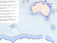
Australian bathymetry and topography grid depth contours, June 2009 (eAtlas, source: GA)
Published on
03 June 2014
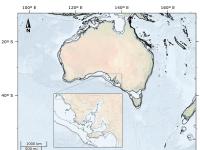
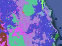
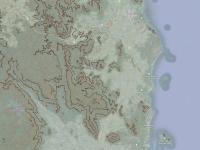
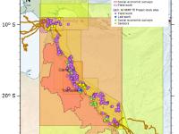
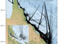
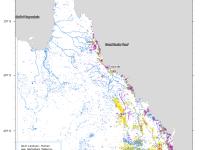
This dataset contains contours generated from the Australian bathymetry and topography grid, June 2009 version 4 by Geoscience Australia. It contains depth contours for -20m, -40m, -100m, -200m and -400m. Contours were generated in ArcMap using the Spatial Analyst Tools / Surface / Contour List tool. This output was then simplified using the Cartography Tools / Generalization / Smooth Line with a tolerance of 300m. The rest of this documentation is based on the metadata of the Australian bathymetry and topography grid itself.