
Articles
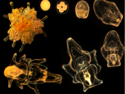
The Great Barrier Reef (GBR) is currently experiencing a 4th wave of crown-of-thorns seastar (Acanthaster planci) infestations since the 1960’s. The seastars are spreading rapidly with reefs from Lizard Island to Cairns suffering massive coral mortality. The race is on again to learn more about the biology of COTS and fund some smart science to develop strategies that will minimise the coral loss caused by the voracious coral predator.
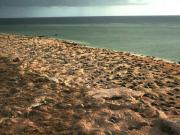
Raine Island, a 27.5 hectare cay situated on a detached reef and located in the far northern Great Barrier Reef is, along with the adjacent Moulter Cay, the focus of approximately 90% of all nesting effort of the Northern Great Barrier Reef (NGBR) green turtle genetic stock. The small sand cay is the largest rookery in the world for the green turtle (Chelonia mydas) with upwards of 15 000 females having been recorded attempting to nest at the one time along the approximately 1.8km of beach.
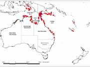
Within a funding structure such as NERP TE, 'governance' is often described within the narrow framework of program roles and responsibilities. However there are benefits of considering the broader system of governance that such programs sit in, and in ensuring that each phase within the program cycle contributes to good governance outcomes. This broader idea of governance represents "the way society gets things done".
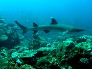
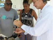
During trips to Torres Strait in collaboration with TSRA in 2013 and 2014 coral skeletons were collected under a permit issued by the Commonwealth of Australia under the Torres Strait Fisheries Act 1998.
This presentation provides a technical overview of the e-Atlas. It outlines a brief introduction to the e-Atlas, a demonstration of the mapping system and an outline of each of the software systems that make up the architecture of the e-Atlas.
This presentation provides a general overview of the e-Atlas, its background, role, what you will find in the e-Atlas and the value of bring spatial data together in one platform. This was presented to the Department of the Environment in April 2014.
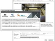
The eAtlas Image Metadata Editor application is a Java program that allows information about the photos such as title, description, attribution, location, etc. to be recorded and saved in the images. When these images are then uploaded to the eAtlas this metadata is then maintained and displayed on the site. A web page is created for each image using the metadata added to the photo by the Image Metadata Editor. This application is intended to be used by eAtlas content administrators and those wishing to submit lots of photos to the eAtlas.
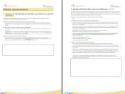
All datasets submitted to the eAtlas for publication need to complete an eAtlas dataset report form. This form is for collecting documentation on environmental research datasets and aims to ensure that these datasets can be reused in the future by others. The information collected in this report should address the key questions someone would have when trying to understand and use the associated dataset.
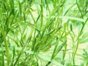
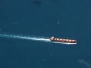
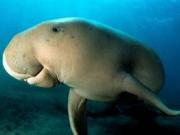
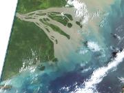
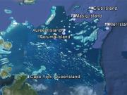
The Torres Strait marine environment contains a relatively shallow (<20m) and highly productive stretch of seawater between the tip of Queensland and Papua New Guinea. It straddles the juncture of the Indian Ocean (Arafura sea) with the Pacific Ocean (Coral Sea), resulting in complex patterns of influence from the two ocean systems, including complicated tides and currents, and high biodiversity. Torres Strait contains over 100 islands, and a diversity of marine habitats including coral reefs, seagrass meadows, and rich benthic garden communities.
This page is deprecated.
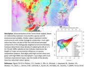
This milestone report presents a catalogue of information for the most significant and updated data sets, metadata and map compositions for the Torres Strait region, which may be suitable for inclusion in the Torres Strait eAtlas.