
Articles
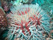
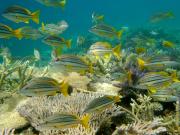
The Social and Economic Long Term Monitoring Programme (SELTMP) for the Great Barrier Reef is the result of a massive regional level initiative funded by the National Environment Programme (NERP), CSIRO Wealth from Oceans, James Cook University and the Great Barrier Reef Foundation.
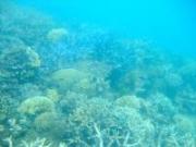
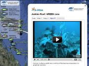
This study investigated the influence of Great Barrier Reef Marine Park Zoning on fish abundance of the Great Barrier Reef. The fish populations of pairs of shoals, one in a Green zone (closed to fishing) and the other in a Blue (open to all fishing) were compared using Baited Remote Underwater Video Stations (BRUVS).
These BRUVS revealed a diverse fauna of fish, sharks, rays and sea snakes, including species prized by fishers, taken as bycatch, or not vulnerable to hook and line fishing.
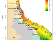
This article outlines the use of two R packages, geoMap and geo, developed to analyse data and generate outputs for the e-atlas and ningaloo-atlas. geoMap generates a variety of plots that can be used for exploratory analysis, presentations and publication-quality maps. geo is an extensive set of spatial modelling techniques that produces fitted surfaces that can be added to publication graphics, or added to the e-atlas as layers, or used as KMLs.
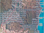
This atlas of 186 PDF maps shows the Habitat quality of the urbanized and agricultural regions of Mission Beach, Queensland based on aerial photography taken 6 months after cyclone Larry.
The need to develop a comprehensive understanding of the role that protected areas play in the lives of communities is as important as developing a greater understanding of the scientific aspects of protected areas.
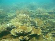
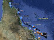
This study forms part of MTSRF Project 2.5i.2c and examines variations in coding regions (genes) of coral DNA and their relative frequency as distributed along a thermal gradient on the Great Barrier Reef.
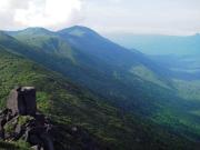
Researchers from the Centre for Tropical Biodiversity and Climate Change at James Cook University (funded by the Marine and Tropical Sciences Research Facility), are working to identify climate refugia that could promote adaptation to climate change in rainforest species of Australia’s Wet Tropics.
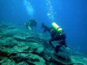
The AIMS Long-Term Monitoring Program (LTMP), initiated in 1993, was designed to track changes in populations of key groups of organisms, particularly crown-of-thorns starfish, corals and reef fishes, on appropriate spatial scales over the length and breadth of the Great Barrier Reef World Heritage Area (GBRWHA).
The specific objectives of the LTMP are:
One of the key ways to ensure the sustainability of a tourism destination is to measure and build its competitiveness.
This annual report forms part of a series of reports presented by James Cook University on reef tourism in the Great Barrier Reef.
As one of Australia’s iconic tourism attractions and one of the seven natural wonders of the world, the Great Barrier Reef (GBR) is an important economic, social and natural resource for Queensland’s Tropical North.
Marketed internationally as an iconic tourism experience, Australia’s Great Barrier Reef (GBR) faces a range of issues similar to those faced by coral reefs in other parts of the world.
Marine wildlife tourism has become one of the fastest growing tourism sectors.
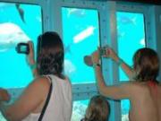
Photography is an important element of the tourist experience and provides both a method of later reliving the experiences of the journey as well as sharing elements of the journey with others. In the digital age photography has taken on a new dimension with the ability of people to enhance images as well as share them with others via new media such as social network sites and blogs. This paper reports on research undertaken in to photography on the Great Barrier Reef and finds that respondents rate the need for good photographic images as a high priority.